Exploring the Three Main Types of Satellite Images
This article offers an overview of the three primary types of satellite imagery—visible, infrared, and water vapor—highlighting their functions and uses. Exploring the history and applications, it emphasizes satellite imaging's role in weather forecasting, mapping, and environmental assessment. The piece underscores how different wavelengths reveal various Earth features, enhancing scientific and industrial capabilities. It also touches on the evolution from early space images to modern real-time monitoring tools, showcasing satellite technology's importance across multiple fields.
Sponsored
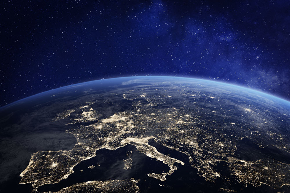
Satellite imaging, also known as remote sensing, involves capturing images of Earth's surface from satellites or aircraft at high altitudes. Different satellites employ various sensors that detect electromagnetic radiation reflected or emitted by the Earth's surface, providing detailed views. These sensors can utilize different EMR wavelengths, such as infrared, ultraviolet, or microwaves. Human eyes can only perceive a small part of the EM spectrum, so satellite images often display these invisible wavelengths as artificial colors, revealing details not visible to the naked eye.
As a result, satellite images often display surreal colors, like the one shown here.
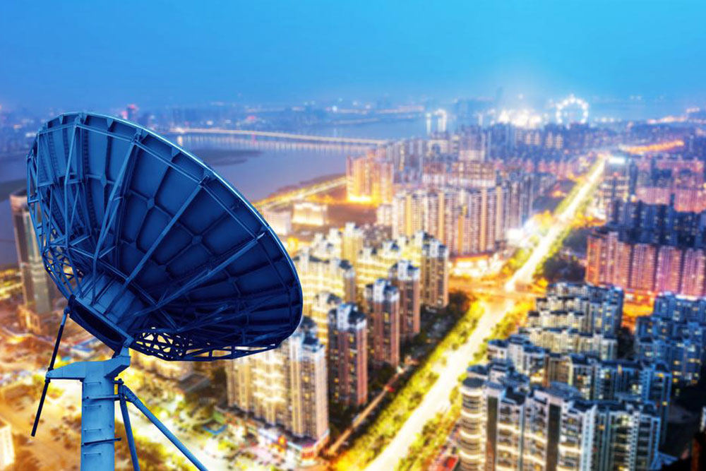
Live Satellite Monitoring
Different surfaces and materials reflect radiation uniquely, allowing satellites to distinguish objects from afar. For instance, roads reflect most energy, exhibiting specular reflection, while rough surfaces like forests scatter energy in many directions—a process called diffuse reflection. This helps monitor changes in vegetation density and forest health. Satellite imagery enables real-time observation (such as through platforms like Google Earth).
Various EM wavelengths help assess specific features; infrared, for example, is excellent for evaluating plant health. Healthy leaves reflect more infrared light, whereas unhealthy ones reflect less. That’s how satellite images capture your location’s details.
Satellite imagery serves multiple purposes, including weather tracking, mapping, defense, and scientific research. Modern satellites provide detailed, accessible images worldwide, which are available through services like Google Earth. The three main types include:
Visible Imagery
This type resembles standard photographs as it captures reflected sunlight. Visible images are limited to daytime since they depend on sunlight. Different objects reflect different amounts of light; lighter objects reflect more, appearing brighter, while darker objects reflect less. For example, distinguishing snow from clouds can be tricky, but analyzing image sequences can help, as clouds move while snow remains static.
Infrared Imagery
Infrared imaging detects heat emitted by objects, making it useful for analyzing conditions regardless of light. Since all objects above absolute zero emit infrared radiation, this method allows imaging during the day or night. However, it may face challenges differentiating weather phenomena like clouds and fog, which can have similar temperatures to the Earth's surface. Combining infrared data with other imaging enhances accuracy.
Water Vapor Imaging
This less common type measures atmospheric moisture levels. It captures water vapor content across different altitudes, indicating humidity. Dry areas are depicted with specific colors based on moisture levels, aiding meteorologists in weather prediction and climate studies.
Historically, Explorer 6 launched in 1959 was the first to photograph Earth from space, primarily studying atmospheric magnetic and electrical fields while capturing cloud patterns. Modern satellite images are far more detailed, available instantly, unlike early images that took days to retrieve. Satellite imaging remains vital for meteorology, cartography, military operations, and environmental monitoring, with many images freely accessible online via organizations like NASA.