Understanding Weather Radar and Its Significance in Meteorology
Discover the vital role of weather radar systems in meteorology, how they operate using microwave signals, and their importance in weather forecasting and storm detection. Learn about different radar types and their applications, enhancing our ability to predict severe weather events accurately.
Sponsored
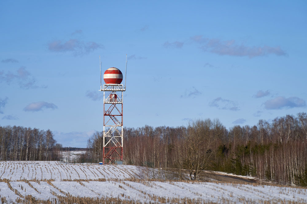
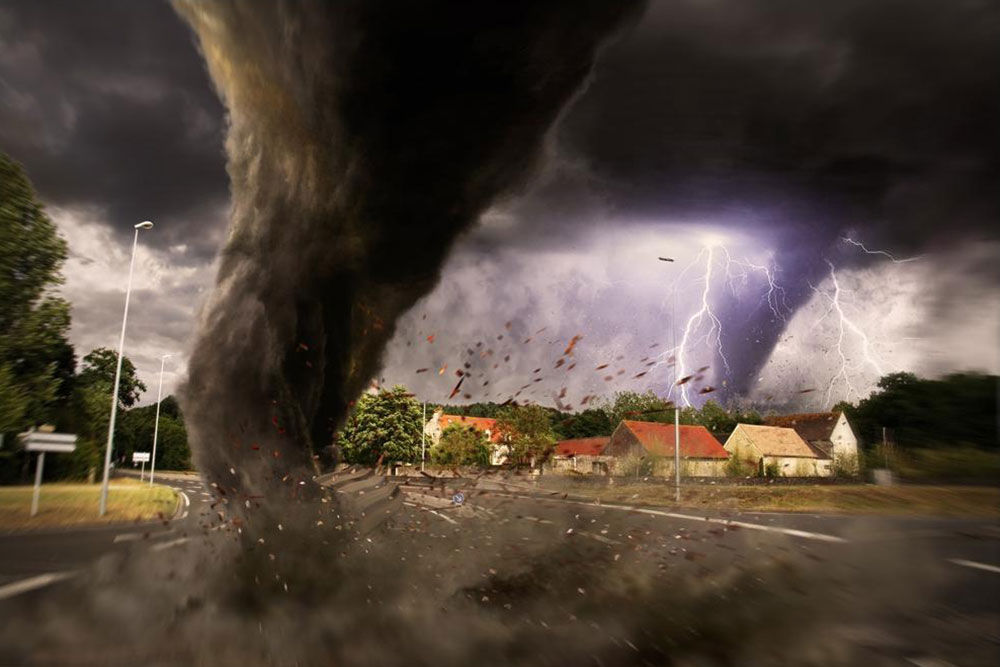
Weather radar, also known as Doppler radar or weather surveillance radar (WSR), plays a crucial role in modern meteorology. These radars detect precipitation, analyze its movement, and identify its type, such as rain, snow, or hail. Most current systems are pulse-Doppler radars, capable of measuring how water droplets move and assessing precipitation intensity. This data helps meteorologists identify storm structures and forecast severe weather events effectively.
Originating during World War II when operators noticed weather echoes masking targets, weather radar technology has advanced significantly. Today, it is extensively used by national weather agencies, research institutions, and media outlets. Specialized software interprets radar data for short-term weather predictions and integrates into weather models for accurate forecasting.
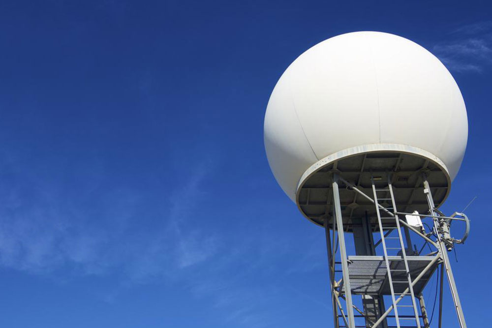
Weather radars employ microwave signals, transmitting brief pulses through parabolic antennas. The wavelength, typically around 10 centimeters, allows small particles like rain droplets to reflect signals back to the radar station. Different radar types, such as S-band, C-band, and Ka-band, are used for various applications, balancing resolution and range. As pulses travel, their spread increases, affecting resolution at greater distances, with a typical scan covering up to 200 km.