Various Applications of GPS Technology
Explore the diverse applications of GPS technology across agriculture, transportation, disaster management, and scientific research. Discover how GPS enhances efficiency, safety, and mapping accuracy in various industries, highlighting its vital role in modern life.
Sponsored
Created in the 1980s, GPS technology initially served military and government needs. Over time, as technology advanced, its potential for civilian use became evident. Today, GPS is recognized as a versatile tool with both defense and civilian applications worldwide.
Here are some key ways GPS and navigation systems are integrated into everyday technology.
Agriculture: Precision farming heavily relies on GPS for site-specific crop management, yield measurement, and detailed field mapping, enhancing productivity and efficiency.
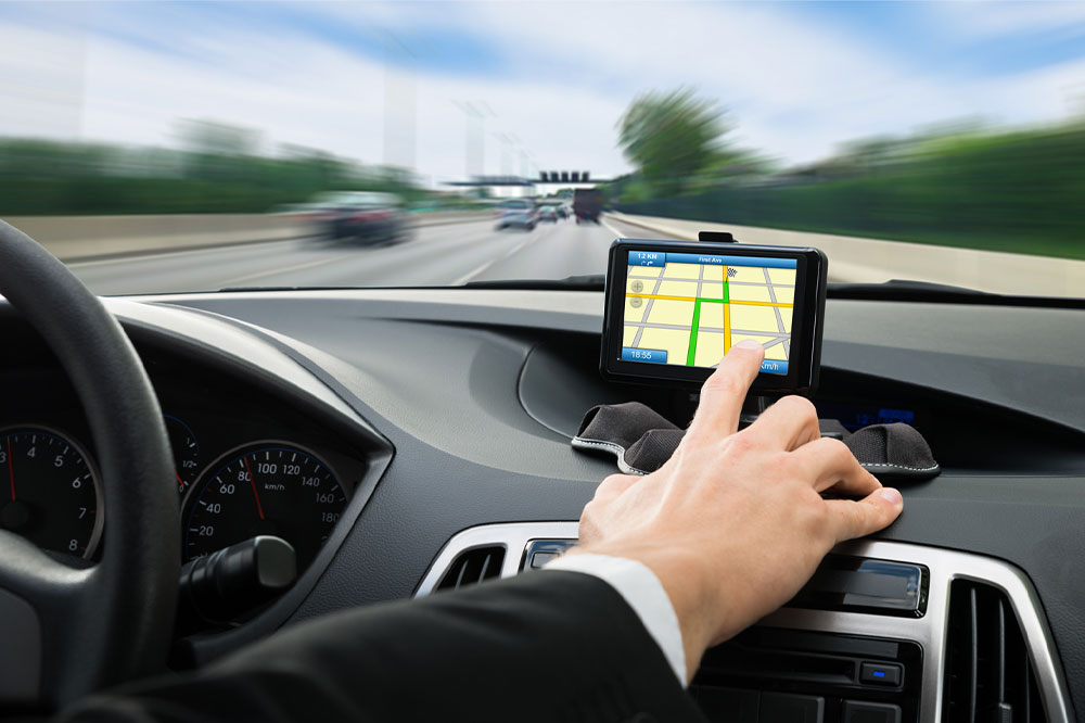
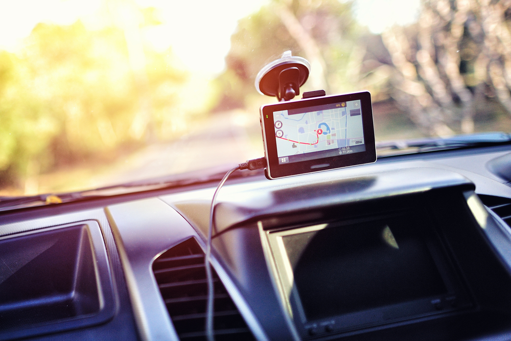
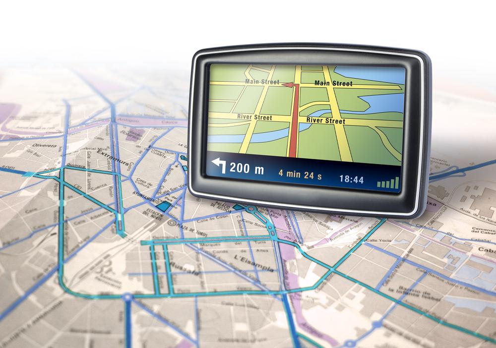
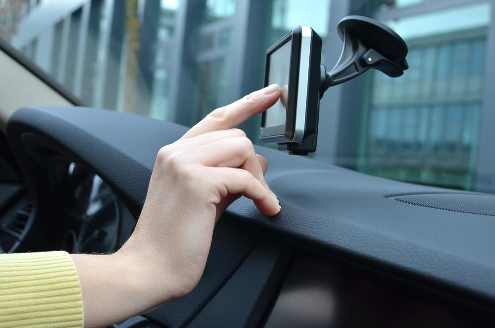
Telecommunications: GPS plays a crucial role in telematics, combining computing and mobile communication in vehicle systems. Most modern cars come equipped with integrated GPS navigation.
Seismology: In tectonics, GPS helps monitor earthquake activity by tracking fault movements, aiding in hazard assessment and seismic predictions based on historical data to produce seismic risk maps.
Land Measurement: Surveying utilizes GPS for accurate land boundary delineation, supporting urban development and exploration projects. Precise positioning ensures correct mapping and territorial rights.
Image and Video Tagging: Geotagging embeds location data into photos and videos, allowing users to trace where media was captured for various purposes.
Area Restrictions: Geofencing uses GPS to monitor device movements—vehicles, personal gadgets, or pets—by setting virtual boundaries for tracking and security.
Logistics and Fleet Management: Real-time GPS tracking optimizes the routing and monitoring of vehicle fleets, ensuring efficient cargo delivery.
Environmental and Weather Science: Proprietary GPS assists in studying atmospheric patterns, storm tracking, and natural disaster prediction through techniques like radio occultation.
Emergency Response: GPS helps emergency services navigate quickly and accurately during crises, ensuring rapid aid delivery with reliable signals unaffected by adverse conditions.
Civilian GPS devices have certain altitude and speed limitations for safety, and while the signals are similar to military systems, equipment differences affect reception capabilities.