Introduction to GPS and Navigation Technology
This article offers a comprehensive overview of GPS and satellite navigation systems, covering their history, operation, and global counterparts. It highlights how these systems work together to provide accurate location data, essential for modern navigation. Learn about the different GNSS platforms worldwide and how they enhance everyday route guidance and navigation accuracy, ensuring users stay on track whether driving, hiking, or exploring new areas.
Sponsored

Understanding GPS and Navigational Systems
The Global Positioning System (GPS) is a satellite-based technology that pinpoint a device's location using signals from orbiting satellites. Several satellite networks support GPS functions worldwide, helping users navigate precisely.
What Does GPS Mean?
Originally, GPS referred to the U.S. Navstar system, but now the term encompasses various satellite navigation systems under the umbrella of Global Navigation Satellite System (GNSS). Today, GPS predominantly signifies the American Navstar system.
Designed initially for military purposes, the U.S. Department of Defense later opened GPS to civilian and commercial sectors.
GNSS Overview
Apart from GPS, other regional and global satellite navigation systems are either operational or in development, including Russia's GLONASS, Europe's Galileo, China's BeiDou, and India’s IRNSS.
US NAVSTAR GPS
Consisting of 24 satellites forming a constellation, GPS satellites transmit orbit data and precise time signals using atomic clocks. Initially, signals included an error code to limit accuracy, but this was removed in 2000, enhancing precision and prompting other nations to develop their own GNSS.
Russia’s GLONASS, managed by the Russian Aerospace Forces, also has 24 operational satellites. Europe's Galileo, expected to be fully operational by 2019, offers high-precision positioning for EU nations. China’s BeiDou system now includes 35 satellites and aims to serve primarily Chinese users. India’s IRNSS is under development, offering civilian and military encrypted navigation services.
How Satellite Navigation Works
Satellites continuously broadcast their positions and timestamps; ground receivers use this data for triangulation to determine their own location. They calculate four key parameters: latitude, longitude, altitude, and time, but inaccuracies can arise due to orbital paths, Earth's surface curvature, and satellite travel speed.
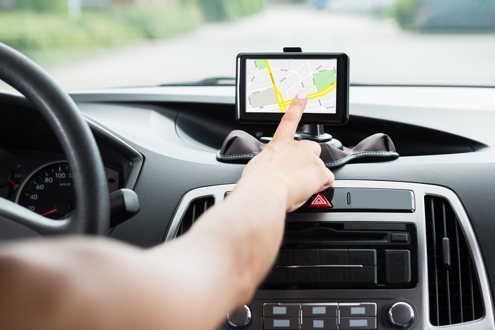
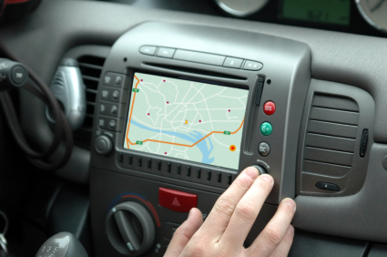
Augmentation systems and local geographic data help improve accuracy. GPS devices leverage this info alongside maps and real-time data like traffic updates, roadblocks, and route options, enabling drivers to navigate efficiently through cities and highways.
As long as your device maintains connection with at least four satellites, you can reliably determine your location, making it hard to get lost. Whether through smartphone apps or dedicated devices, satellite navigation keeps you oriented wherever you are.