Exploring Different Categories of Reference Maps
This article provides an overview of various reference map types, including political, physical, topographic, and more. It highlights their uses in navigation, education, geology, and business, emphasizing their importance in understanding geographical features and boundaries. Technology has made access to these maps simpler, enhancing navigation and geographic awareness for individuals and professionals alike.
Sponsored
For centuries, maps have served as essential tools to help us navigate and understand our surroundings. Some maps focus on guiding travelers, while others outline borders, locations, or geographical features. Professionals utilize specialized maps for weather forecasting or geological analysis. Overall, maps are generally divided into two main categories—reference and thematic. This article delves into various types of reference maps, highlighting their features and applications.
What are general reference maps?
Commonly used in education, reference maps display locations of cities, towns, and major transportation routes such as highways. They also illustrate natural landmarks like rivers, lakes, and mountain ranges. These maps are designed for clarity and ease of use, assisting users in navigation and geographic orientation. As the name suggests, they serve as reliable guides for finding specific areas.
Types of reference maps include:
Political Maps: These maps depict country and state boundaries, including water bodies like lakes, seas, and rivers. They are widely used in schools and online platforms to illustrate geopolitical divisions, such as world or regional maps.
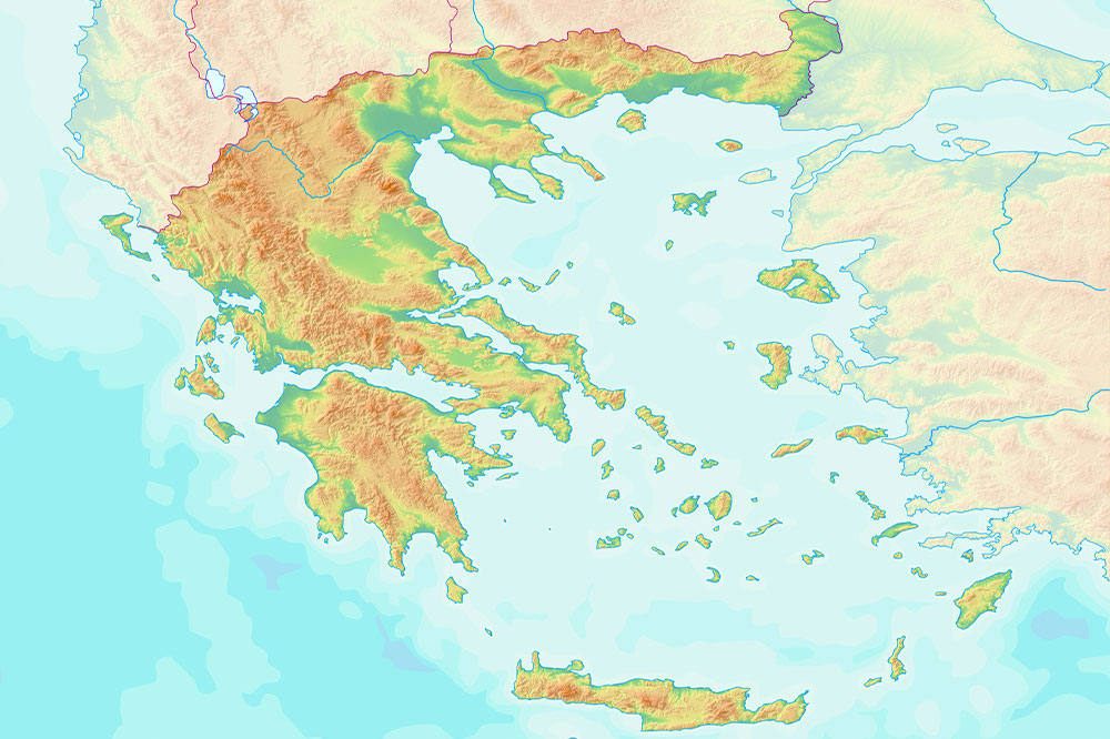
Physical Maps: Showing the Earth's landscape features, these maps use color coding to represent different terrains—blue for water, green for lowlands, and white for glaciers. They help in understanding topography and landforms.
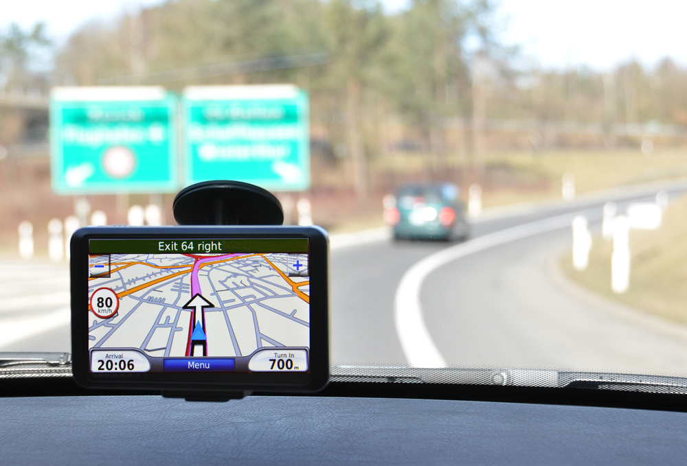
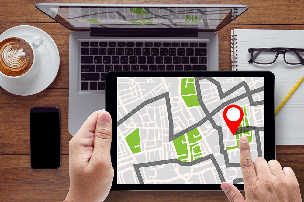
Road and Street Maps: Highlighting roads, streets, and highways, these maps—like Google Maps—are vital for navigation, especially in unfamiliar areas. They help identify locations like markets, stations, or landmarks for travelers.
Topographic Maps: Similar to physical maps, these use contour lines or color shading to indicate elevation and landforms, making them popular among hikers, surveyors, and military personnel.
Time Zone Maps: Displaying global time zones with different colors and markers, these maps assist in understanding time differences, useful for international communication and business.
Geologic Maps: Illustrating underground rock types and sediments using color distinctions, these maps support construction, resource exploration, and geological studies.
Zip Code Maps: Outlining postal zones, these maps aid postal services and help businesses target markets based on geographic and demographic data.
Today, technology offers easy access to various maps through online searches, atlases, and libraries. Reference maps are vital for understanding geographic features, regional boundaries, and logistical planning—often integrated into GPS and navigation tools seamlessly.